01
XYZ Gizmo
Gizmo Tail
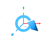
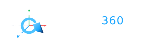
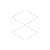
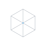
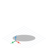
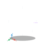
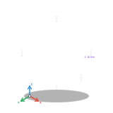
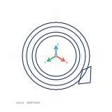
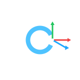
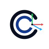
The Critec dart becomes the origin of an XYZ move-gizmo — three coloured axes radiate out from its tip.
Click to open→
Sixty-four exploratory marks for the Critec 360 sub-brand. Each concept keeps the C+G mark and its volt-blue dart. Tap any tile to open it larger. Pick one (or several) for refinement.
The Critec dart becomes the origin of an XYZ move-gizmo — three coloured axes radiate out from its tip.
Three orthogonal orbital paths (X/Y/Z) sweep around the CG mark — evokes a 3-D viewport rotating freely.
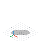
Critec mark anchored at the (0,0,0) origin of a CAD viewport. XYZ axes radiate through the mark — the brand IS the datum.
The Critec mark extruded into iso 3-D — a ghosted back copy shifted 30° down-right with subtle extrusion connectors.
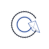
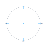
A degree-marked surveyor's ring frames the CG. Cardinal callouts (0° / 180° / 270°) read like a theodolite scale.
A single rotational arrow traces the 360° envelope. Subtle movement, instantly readable as 'this thing rotates'.
A field of point-cloud dots radiates from the CG — pure LiDAR. Random dot sizes and opacities mimic real scan returns.
A radar-style beam sweeps over the mark with concentric range rings — the active scan motif you see on every survey UI.
A scan-dot envelope wraps the Critec mark — the brand stays intact, surrounded by an orbital point cloud.
A quadcopter sits above the CG, casting a dotted scan beam down. Reads instantly as drone-driven aerial survey.
The CG mark dressed up like an engineering drawing of itself — extension lines, dim arrows, Ø 360 callout. Pure technical.
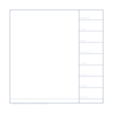
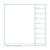
The CG mark sits inside a CAD drawing's title block — sheet, scale, rev fields and all. Reads as a deliverable stamp.
Surveyor's red datum crosshair pierces the CG — fixed reference, absolute origin. Loud and confident.
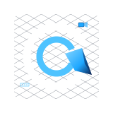
Isometric floor-plan grid behind the mark, with miniature CCTV and network-switch glyphs at the corners — site infra at a glance.
The CG as the hub of a network topology — dashed spokes to outlying nodes. Reads as security & networking infrastructure.
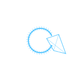
A triangulated wireframe ring orbits the Critec mark — like a freshly imported scan model.
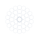
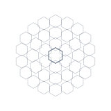
Honeycomb of hex cells radiates from the mark — a nod to Hexagon AB and DroneDeploy's tile-mesh visual language for spatial coverage.
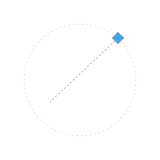
A surveyor's prism reflector sits on a dashed line of sight that passes through the mark's true centre — Leica TPS station-to-target visual.
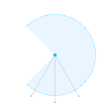
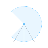
270° scan fan emanating from the mark with tripod legs reaching out — Faro / Trimble static-station scan diagram.
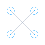
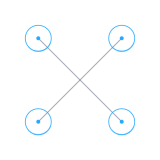
Four propeller circles haloing the mark in an X-frame, motion-blur arcs implying spin — top-down quadcopter view.
Cartographic north arrow rises from the top of the perceived ring with a faint dashed bezel — site-plan vernacular.
Architectural section line A-A cleaves through the mark, with paired cap-arrows and chainage ticks for cut-and-look.
An isometric wireframe cube fitted around the perceived ring — 3ds Max ViewCube / Fusion 360 navigation gnomon.
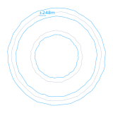
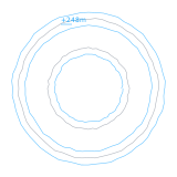
Concentric topographic contour lines with a +248m spot height — OS-style relief rendering wrapped around the mark.
Three range rings ripple out at 10 / 20 / 30 m — clean LiDAR pulse diagram tightly concentric to the perceived circle.
CAD bounding box with corner brackets and dimension callouts (360.00 × 360) — engineering drawing dimensioning convention.
Twelve dashed radial spokes plus a faint concentric grid — polar coordinate spider used in radar plots and antenna diagrams.
A pair of cubic Bezier arcs hug the mark with NURBS knot squares marked — parametric CAD curve modelling cue.
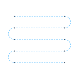
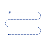
Lawn-mower drone flight path in dashed segments with U-turn arcs and waypoint dots — DroneDeploy / Pix4Dcapture mission planner motif.
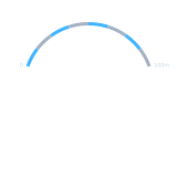
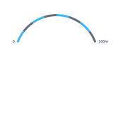
Alternating-segment graphic scale bar bent into an arc above the mark — site survey scale-bar made decorative.
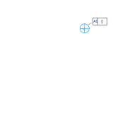
GD&T datum target circle tangent to the mark, with a feature-control frame leader (⌖ A1) — ASME Y14.5 vocabulary.
Sixteen-point compass rose snug to the mark with cardinal points emphasised — chart / wayfinding vernacular.
Sparse raster pixel cells fade around the mark — orthomosaic / raster tile lineage from the GIS world.
Four corner brackets and tangent reticle ticks frame the mark — drone-camera viewfinder / capture-target overlay.
Camera view frustum projects from a small camera glyph above the mark down through it — drone overhead capture geometry.
Three downward-facing arcs and a downward emission spike — bathymetric / sonar echo-sounder profile motif.
Photogrammetry ground-control-point checker target with leader line and GCP-01 label — UAV photogrammetry workflow icon.
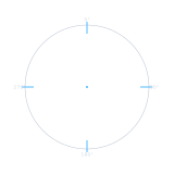
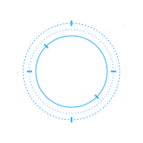
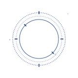
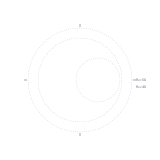
Theodolite reticle: tangent ring, axial cross-hairs and degree readouts at the four cardinals.
Geological strata bands hatch-shaded beneath the mark — civil engineering subsurface-section vernacular.
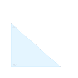
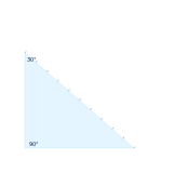
30-60-90 drafter's set square laid translucent across the mark with rulings on the hypotenuse — analogue drafting nostalgia.
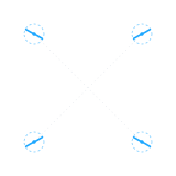
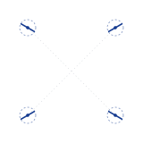
Four propeller blades caught mid-rotation at the corners with motion-blur arcs — DJI Mavic / Skydio quadrotor frame in flight.
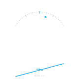
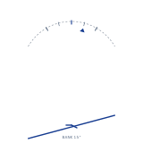
Artificial-horizon attitude indicator with a 15° bank pointer and slanted horizon line — Wingtra / fixed-wing turning in to a survey leg.
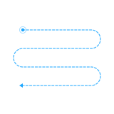
Lawn-mower survey flight path serpentining across the mark with a leading drone-position dot — DroneDeploy / Pix4D mission planner vernacular.
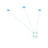
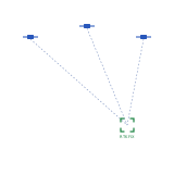
Three satellites beam dashed signal lines into a precision-lock bracket on the dart tip — Trimble GNSS / RTK-fix moment.
Yaw / pitch / roll rings nested concentrically with pivot notches on each axis — DJI Ronin three-axis stabilizer cradling the mark.
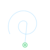
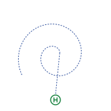
Descending dashed spiral leads into a helipad disc beneath the mark — DJI return-to-home descent from mission to landing zone.
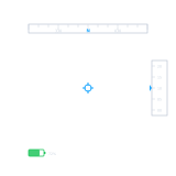
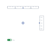
Heading tape, altitude ladder, centre reticle and battery indicator overlay the mark — Mission Planner / FPV racer OSD vocabulary.
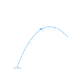
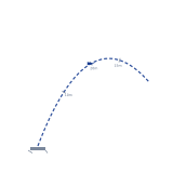
Parabolic dashed trajectory rises from a launch pad past the mark with altitude tick-marks and an in-flight drone glyph — Auterion / takeoff-curve metaphor.
Eight stripped-back marks. One idea per design, drawn from surveying and drafting vocabulary.
Apollonian construction circles framing the C+G mark with R-annotations and 0/90/180/270 degree marks — the geometry is openly declared, after Pentagram MIT Media Lab and Apple's logo construction diagrams.
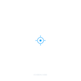
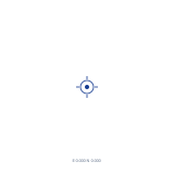
Survey datum crosshair at the geometric centre with an E0.000 N0.000 ordinate label — the mark positions itself as the (0,0) of a coordinate system.
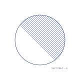
45° section hatching clipped to the mark's outer ring with a 'SECTION A — A' tag — the architectural drawing convention for cut material applied to the mark itself.
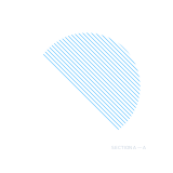
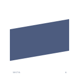
A solid section-cut parallelogram with the C+G silhouette knocked out as negative space — FedEx-arrow thinking applied to a CAD section symbol.
The mark sits in the primary cell of a thin CAD title block with project / date / scale / sheet metadata — the brand declares itself as part of a drawing set.
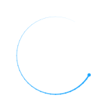
A single tapered 270° motion arc captures the mark in mid-rotation — one decisive line, BBC iPlayer / motion-derived static frame thinking.
A stippled point-cloud rendering of the mark's annulus and dart area — the brand looks like its own LiDAR / photogrammetry deliverable.
A Triangulated Irregular Network drapes across the mark area with edges and node dots — DEM/DTM surface model vernacular from the GIS world.
The mark seen through the CAD window. Eight takes on Fusion 360's home view — gizmo, sketch plane, extrude, ViewCube and dimensioned variants.
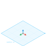
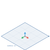
The C+G mark sitting at the world origin with an isometric XY ground grid and an XYZ gizmo — the moment you open the model in Fusion 360's home view.
The mark drawn as a 2D sketch on a highlighted blue sketch plane with corner-pin handle and dashed inner grid — Fusion sketching mode applied to the brand.
The C+G profile extruded upward into a 3D body with depth-stacked echo copies, side edge lines and an offset dimension callout — the brand as a solid model.
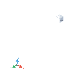
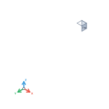
Standard mark with a Fusion-style isometric ViewCube widget in the upper-right corner and a small XYZ gizmo at the front-left — orientation-widget vernacular.
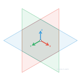
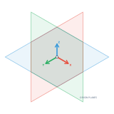
Three intersecting semi-transparent datum planes (XY blue, XZ green, YZ red — coloured by the perpendicular axis, RGB convention) with the XYZ gizmo at their intersection — Fusion's default origin geometry around the mark.
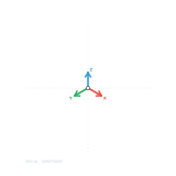
The mark redrawn in pure outline-only wireframe mode (no fills) with construction crosshairs and the XYZ gizmo — the 'visual style: wireframe' render setting.
The mark with engineering-drawing dimension annotations (⌀100, R50, 42°) in CAD-purple and a corner XYZ gizmo — fully dimensioned, ready for fabrication.
Three levels of the C+G stacked vertically as building-floor plates connected by isometric verticals with L00 / L01 / L02 floor labels — BIM coordination vocabulary.